The Setup
Southerly and southwesterly winds were bringing high quality moisture into northern Minnesota with dewpoints approaching or slightly exceeding 70 degrees Fahrenheit in places. At the same time, 500 mb winds were west-northwesterly around 50 knots or more. Temperatures aloft were a little warm, but there was a shortwave trough moving through in west-northwesterly flow. This would be the last trough before a bit of upper-level ridge building and a more capped pattern. Low-level shear looked pretty strong with 0-1 km storm-relative helicity of at least 200 m^2/s^2. Depending on what model forecast sounding would be considered most accurate, there was also some low-level CAPE in place.
Storms were forecast to move through parts of northern Minnesota during the afternoon, but by evening, more storms were forecast to pop up in the northwestern corner of the state and into eastern North Dakota. I had some commitments during the day and considered alternate plans, but the alternate plans fizzled out, and so I decided to chase. I had a bit of a late start, so the first plan was to target any storm that would be close. Storms had persisted near the Canadian border during the afternoon, and now they were strengthening and heading toward Upper and Lower Red Lake.
The Chase
I left home at 4:52 PM and started toward Deer River, where I could make a decision about whether to drive northwestward up Highway 46 to the Red Lakes storms or drive west through Bemidji for new development in northwestern Minnesota. By the time I got to Deer River, and with no major storms in northwestern Minnesota (there were only small, non-severe storms there), I decided to head toward Northome. The storm coming over the Red Lakes was tornado-warned, and the velocity looked good on radar. I was through Northome just after 6:00 and was able to see the storm when I got northwest of the town.
The storm featured a mid-level band of clouds around low-level clouds with a gap in-between, resembling some tiered structures I've seen in nighttime squall lines. However, this was a supercellular storm on radar. I drove to Shooks, Minnesota and watched the storms from a road a couple miles west of Shooks. The storm was dark and grungy underneath, and the limited lighting underneath the storm made contrast pretty low. I had to wait until the storm came really close to be able to see anything. By the time I could see, the somewhat wet rear flank downdraft was over the road to my west, and the hail core on the storm (with a 3.25" hail marker) was threatening my path back east. To the north, I could see cloud elements moving from east to west into the main updraft from the forward flank of the storm. This could have been a long shelf cloud, but it was being pulled into the action area like an inflow band. To the northwest, I could see the RFD gust front approaching and also expanding southward. In the notch between these two areas, contrast was low, so I could not discern any interesting motion.
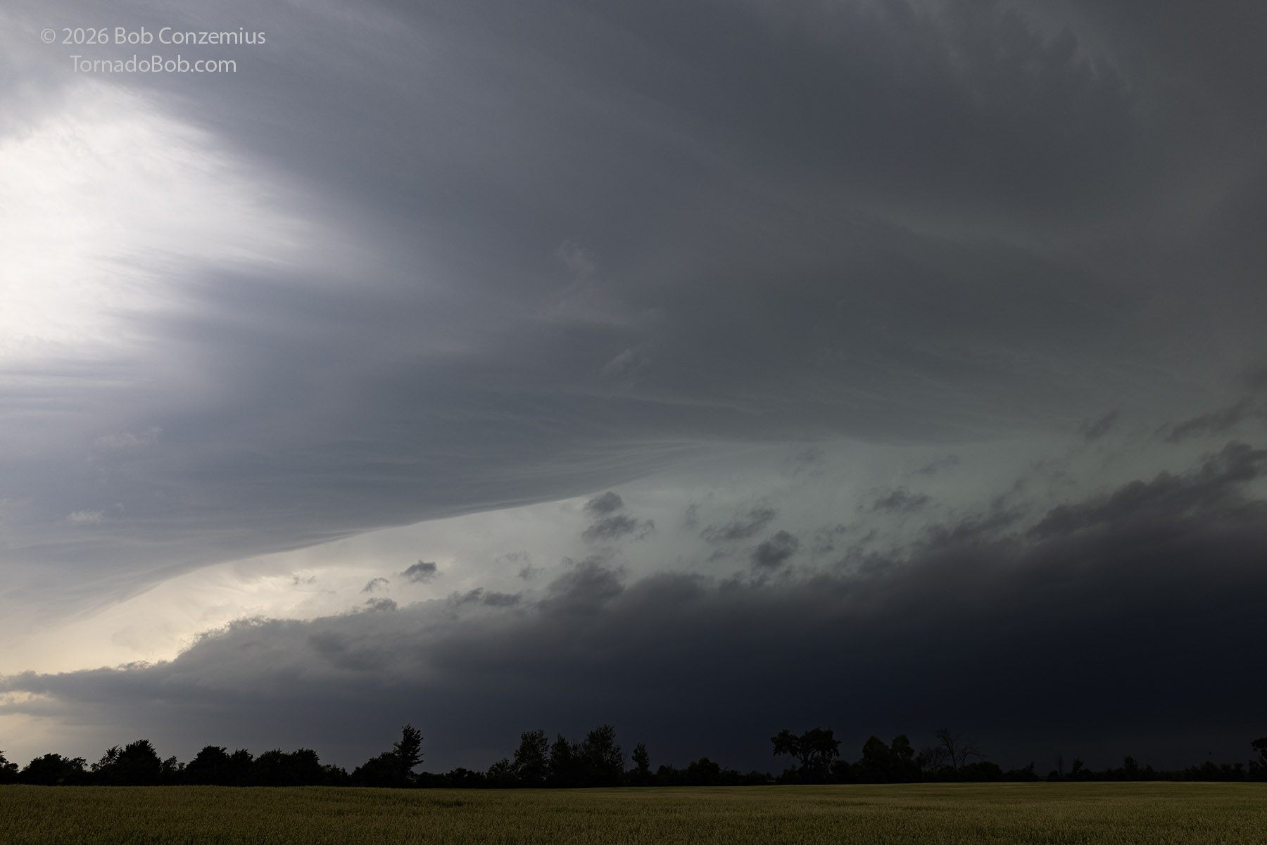
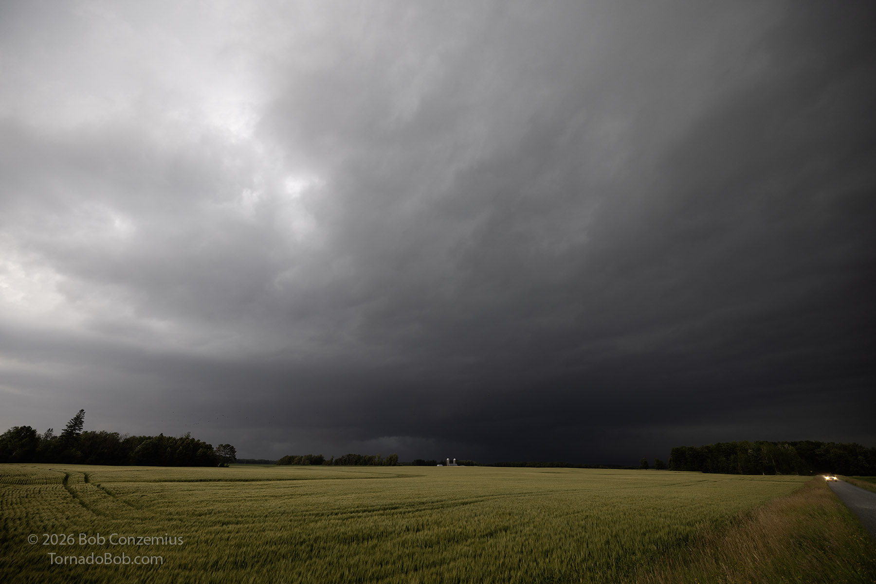
When I became uncomfortable with the prospects of getting hail from the main core, I made a dash for a southbound road to my west. This road took me toward Blackduck, and there was a pronounced surge of outflow as I turned south on this road. The shelf cloud moved south with me. I got ahead of it by the time I entered Blackduck, but the outflow was still present at the surface. During my time with this first storm, storms over northwestern Minnesota had intensified, and there were now a couple tornado-warned storms. One was near Middle River and had produced a brief tornado. The other was near Red Lake Falls and had a great look on radar. It was also tornado-warned. I decided to target the Red Lake Falls storm.
I drove through Bemidji and then west on Highway 2. Highway 2 then curved northwestward to Fosston, and there, I turned north to catch the storm, which by the time I left Fosston, had become non-severe and looked a bit more linear on radar. On my way to the storm, I caught a brief glimpse of the updraft, and it did not look very crisp or firm. Farther west and northwest, additional storms were developing, and many of those storms looked a bit linear, and overall, the situation was looking a bit messy. I decided to stay with my target storm because there wasn't much daylight left. I might as well have fun with what I have.
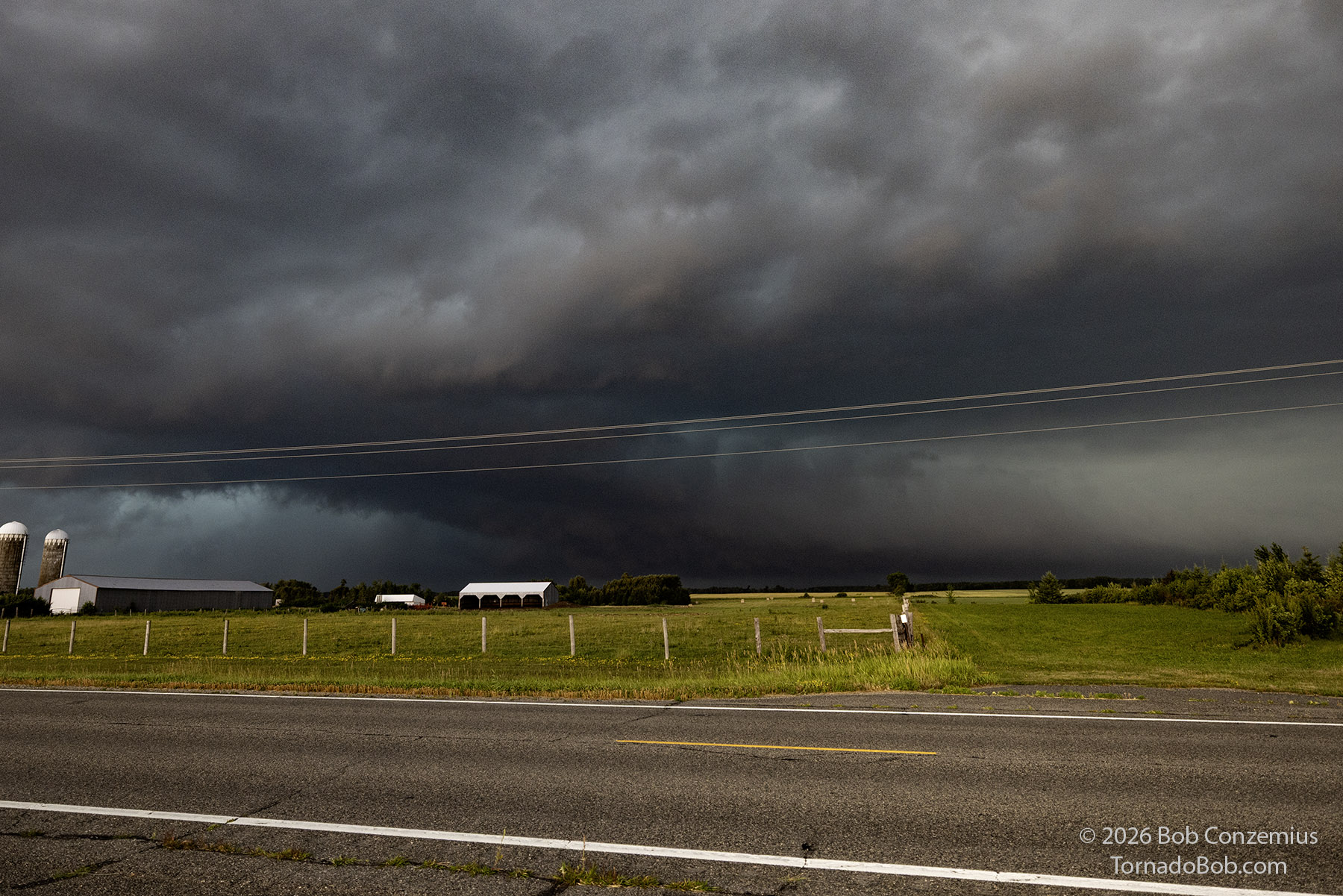
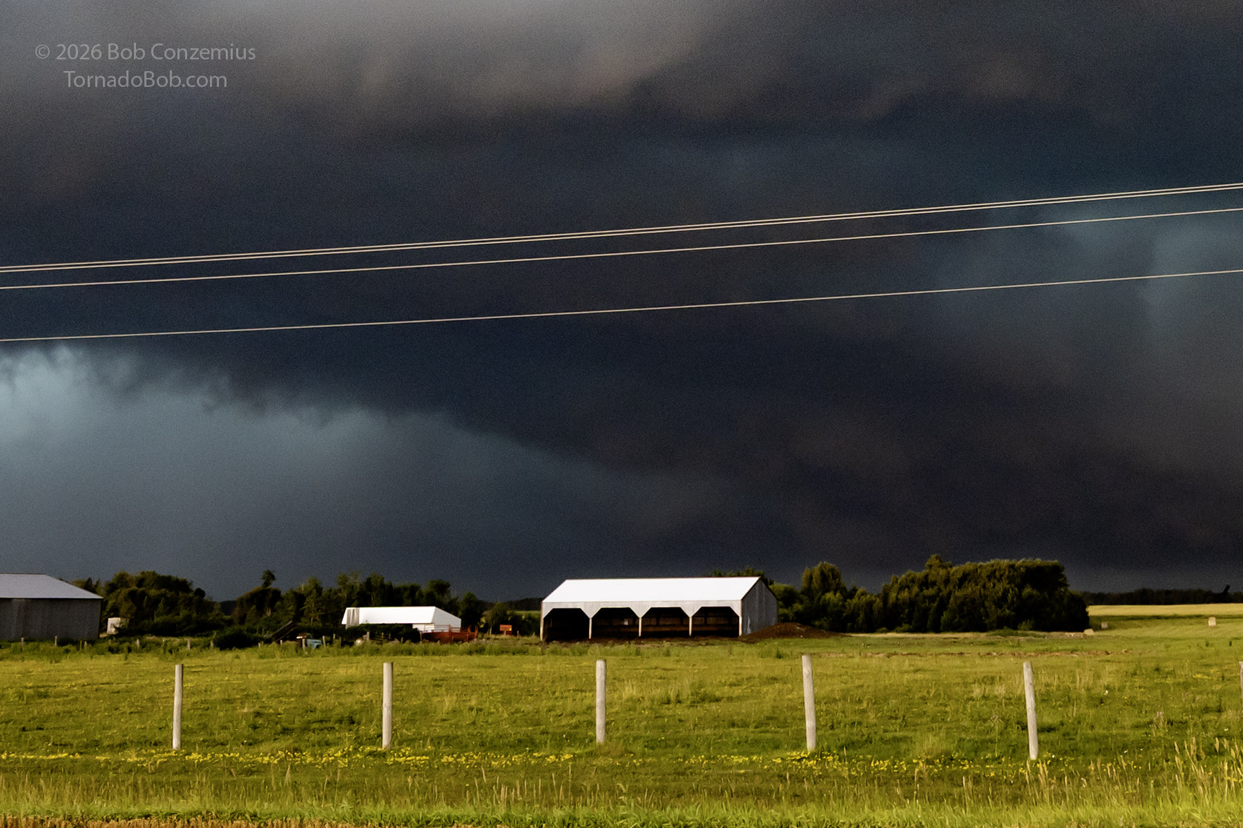
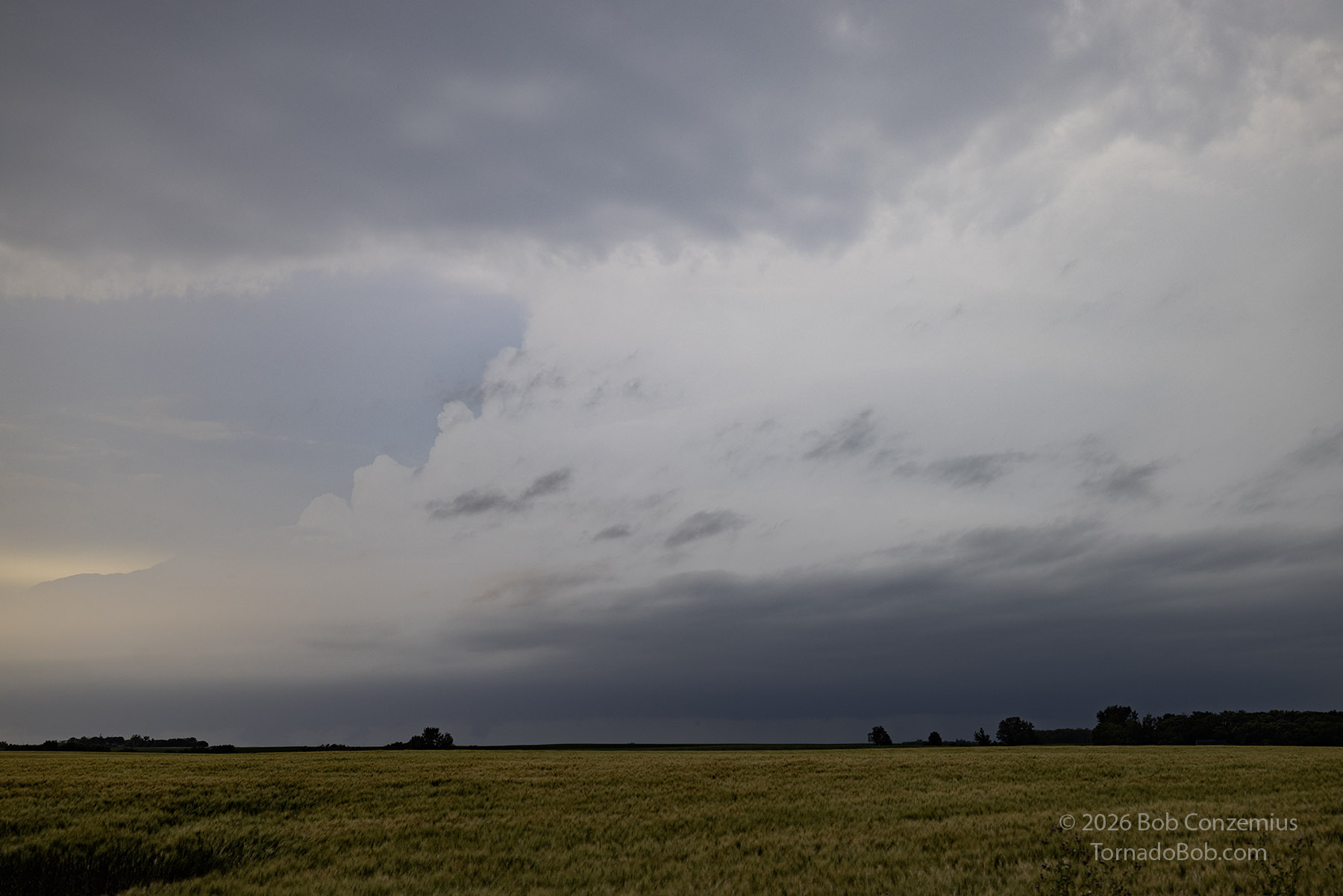
When I got close, the light illuminated the updraft a rather strange shade of white against a gray background. I stopped at grabbed a couple of photos then continued northward. To my northeast, I spotted a wall cloud. I did not take this wall cloud very seriously since there was no rapid motion on it. I decided to play with this one even though it wasn't warned. Might as well make the best of it, and there were no tornado-warned storms in my vicinity (the one that I was on first was headed for my home, and tornado warnings continued for Itasca County). I took pictures of the wall cloud. There was nobody around, whatsoever, until some young guy with "Derecho 2" printed on the door of his mid-2000s Chevy Impala drove up and asked if I was a chaser. We had a brief chat. He said the lake had messed up the first storm (he was also on my first storm). I asked him where he drove from. He said South Dakota. More on him later.
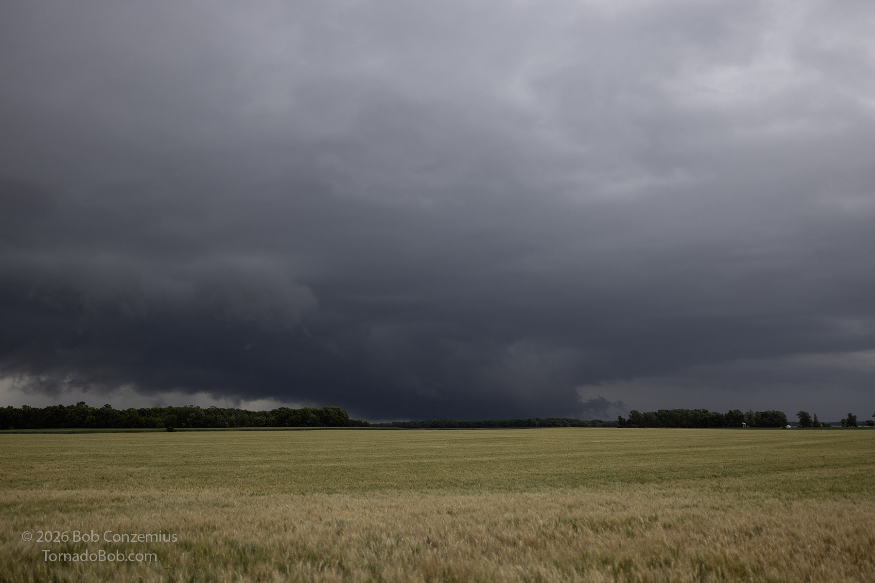
At first, the wall cloud looked rather uninteresting with no real motion-- just a low wall cloud that could be a pseudo-wall cloud in an otherwise outflow-dominant storm. However, I never had outflow winds when I was near it, and a wet RFD began to develop behind it. The storm was definitely taking on some supercellular characteristics. It was also looking better on radar. The reflectivity in the core had come up, the shape had improved. It had a hook on its western flank, and there was a couplet within the hook. The National Weather Service office in Fargo/Grand Forks issued a severe thunderstorm warning.
I continued to take some video and follow along with the storm, keeping the action area to my north, letting it get slightly ahead, then zipping east and catching back up. The wet RFD was not particularly extensive, and being on the south side of this storm, with west-northwesterly 500-mb winds and southwesterly 850 mb winds, was the best place to be.
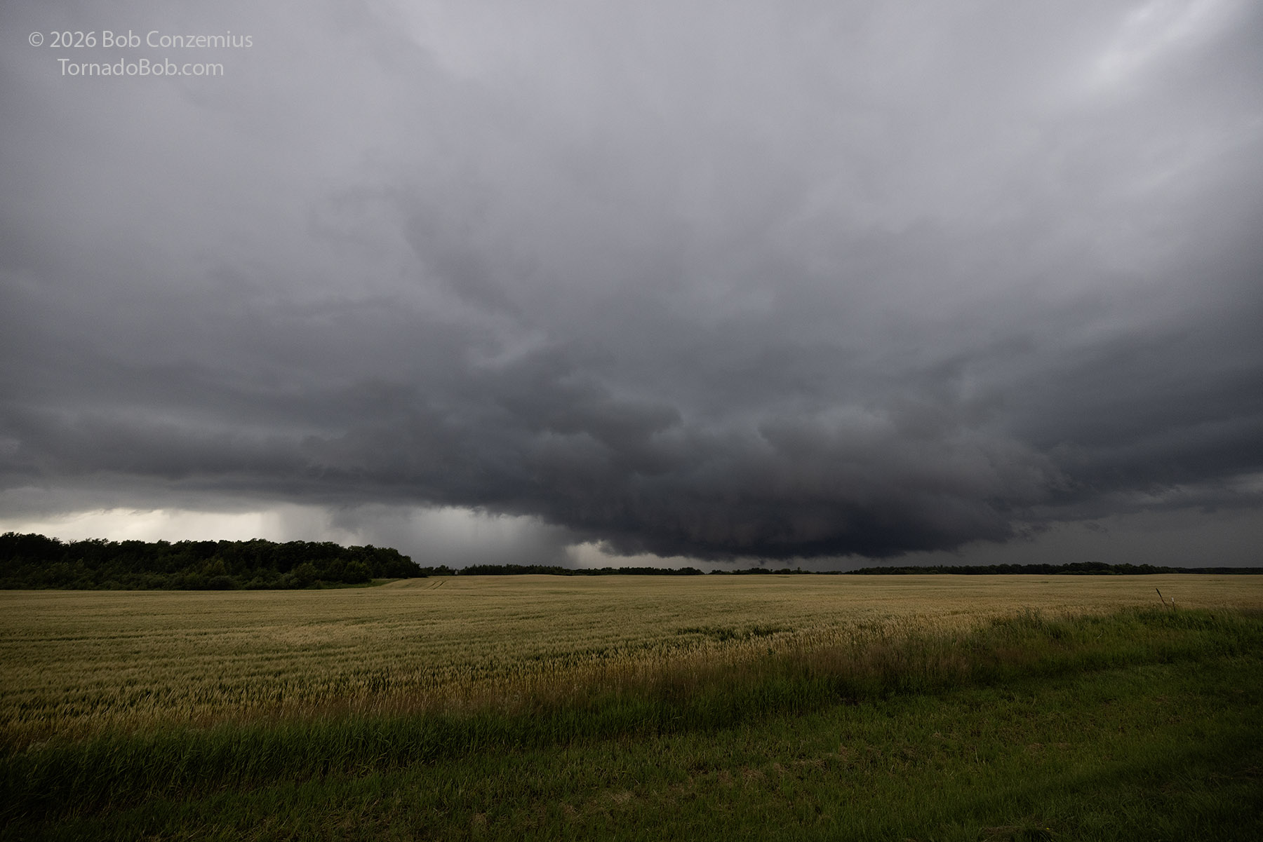
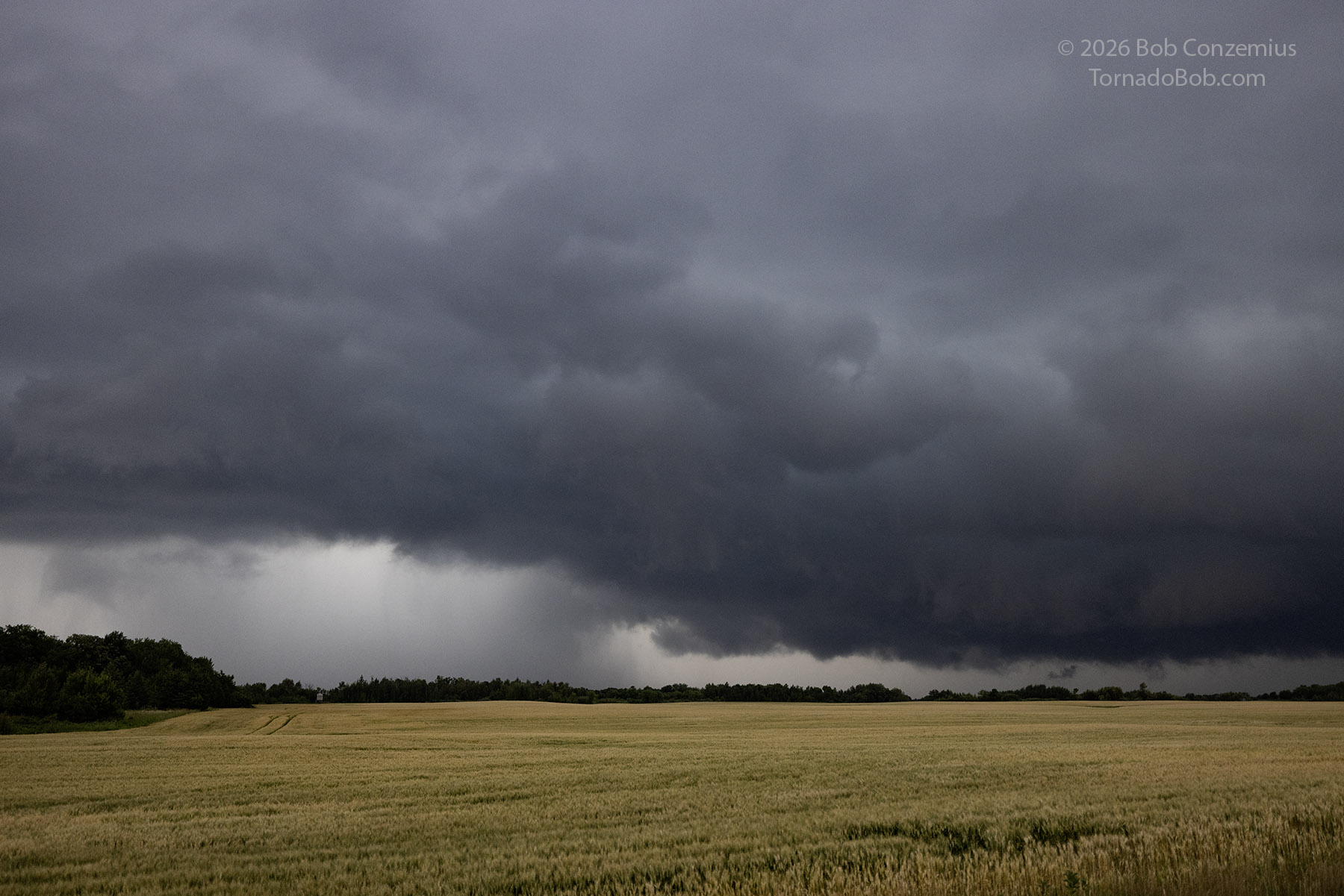
When I got to Clearbrook, a bit more cyclonic circulation was evident at cloud base. It didn't appear as rapid or strong as some tornadic storms I had seen, but things were beginning to look interesting. I took some photo and stills at Clearbrook but failed to notice an area of more concentrated differential motion. I have to think back to August 9, 1999 to when I've seen this type of motion before. In that case, there were also southwesterly 850mb winds and west-northwesterly 500-mb flow. The low-level features had lacked broad rotation, but occasional smaller features would surprise me and produce a tornado. Although there was some mesocyclonic rotation now, the tornadic area of the storm surprised me. A review of my video at Clearbrook shows an area that likely became the tornado-producing part of the storm. There was some more rapid, RFD type motion in a couple concentrated areas over the next few minutes.
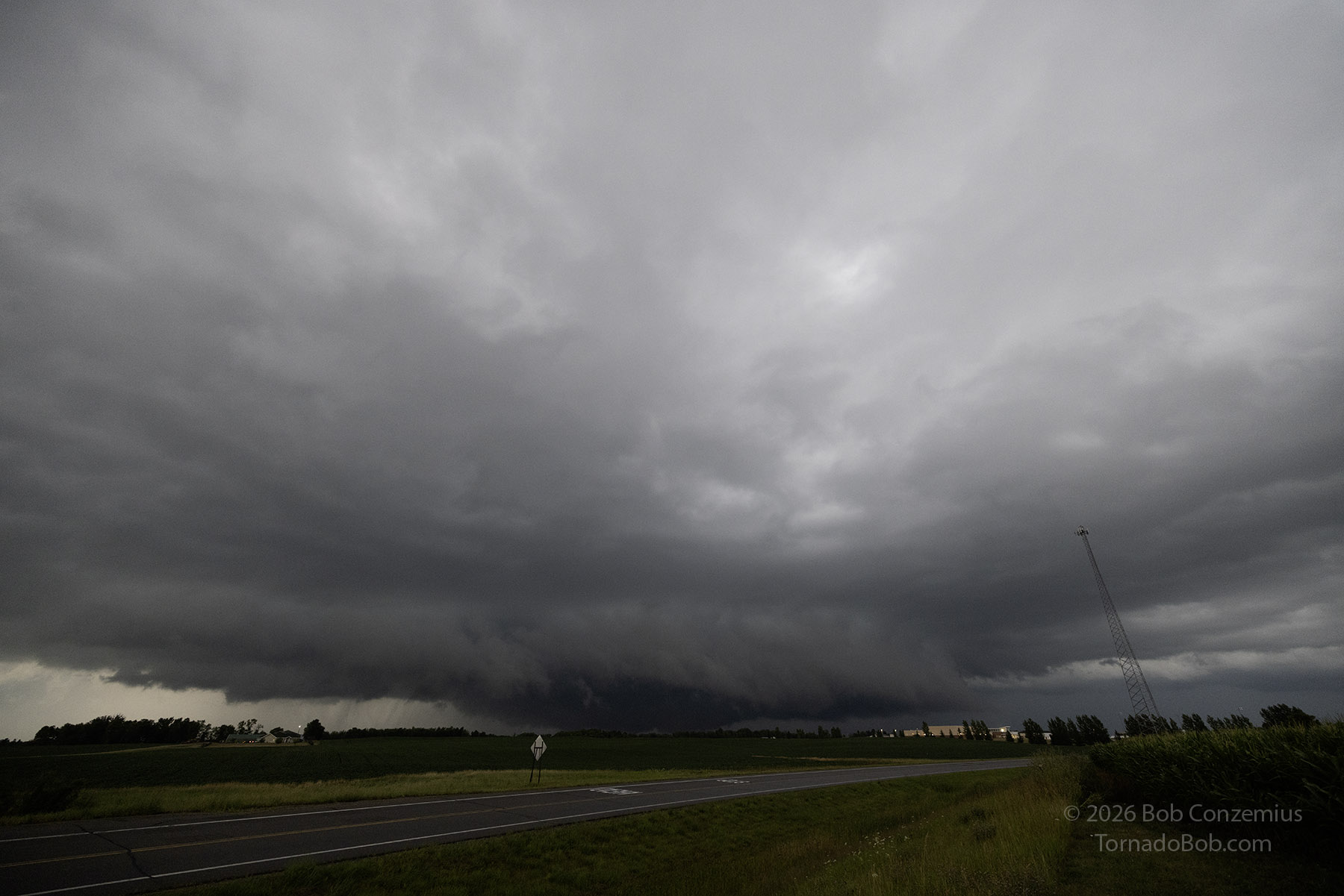
I drove east from Clearbrook and stopped a couple places to take video. Over the next few minutes, a more occluded-looking, broader mesocyclone/tornado cyclone had developed, and I even saw some rapidly rising cloud tags in places, but the two did not line up, so I did not suspect a tornado. I remarked that I wouldn't be surprised to see a tornado warning issued for the storm. It got dark, and my road options started taking me more into the forest. The storm was not looking any stronger, so I decided to let it go in favor of a supercell with a great radar presentation to my west, back again near Red Lake Falls.
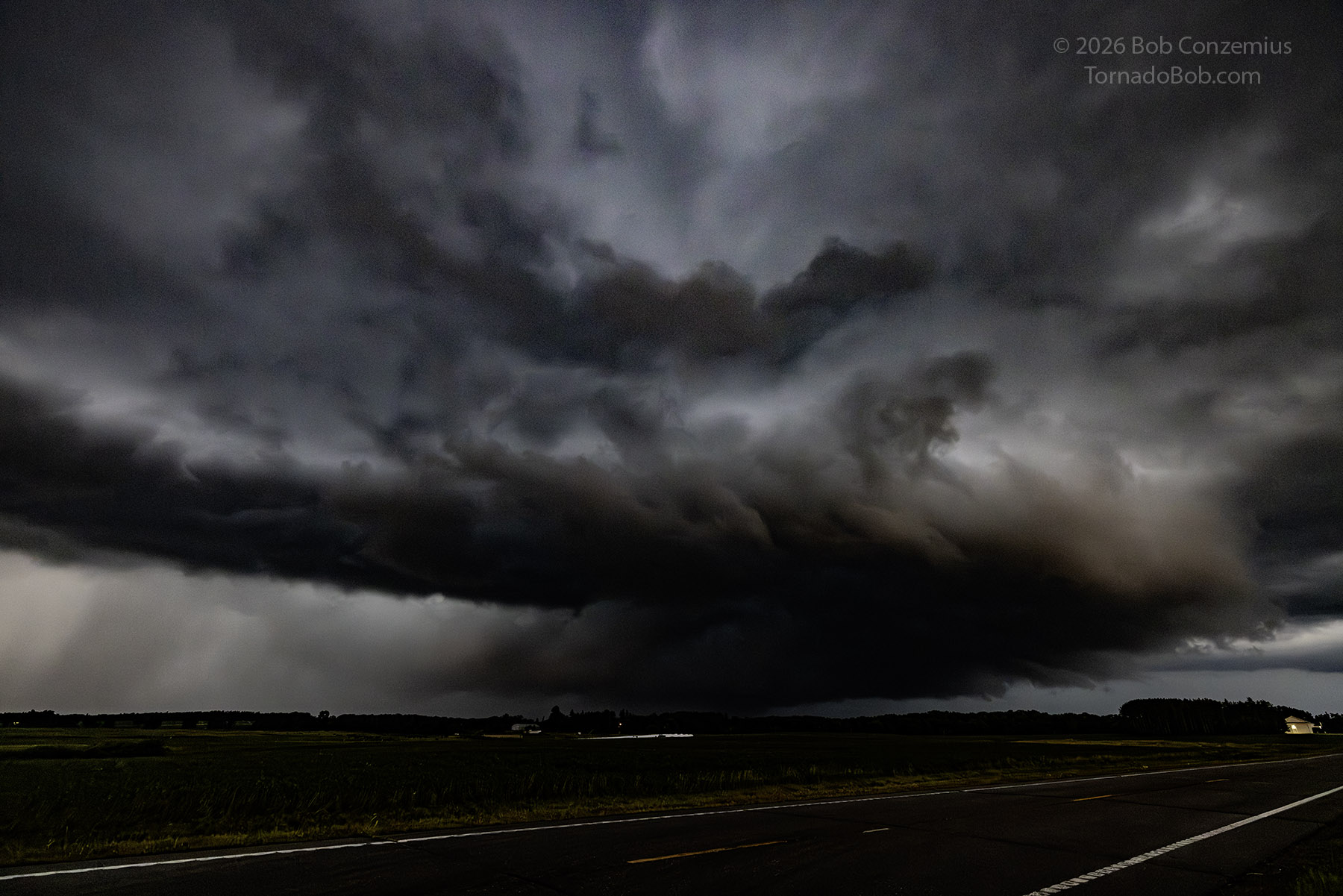
Just after I had turned away from the Clearbrook storm, a tornado warning came out. I spent a few more minutes, therefore, searching in near darkness for a visible tornado. No success. It turns out three chasers (Jordan Hall, Reed Timmer, and the newer guy in the Impala) had been within about 100 meters of a tornado that was about three miles to my north, and I could have seen it had I stared at that spot very closely while the condensation funnel was at its maximum extent. Jordan spotted a very small but intense ground circulation just a few meters away that moved ahead and apparently hit "DERECHO 2", sliding the rear end of his car into the ditch (he had also applied the brakes, but it seems unlikely that uncontrolled braking would have caused that much loss of control at the speed he was goin). It was a few moments, and that's all there apparently was. I have seen no other video than from Jordan and Reed.
I got on the western storm near Fosston, went a little south of town, and looked north for some action. My plan was to let this cell cross Highway 2 in front of me, and I would follow it until it got south of Highway 2 or got past Bemidji, whatever happened first. The storm gradually weakened, lost all its warnings, and no longer had a hail marker, so I decided I could just punch through it in my way to Bemidji.
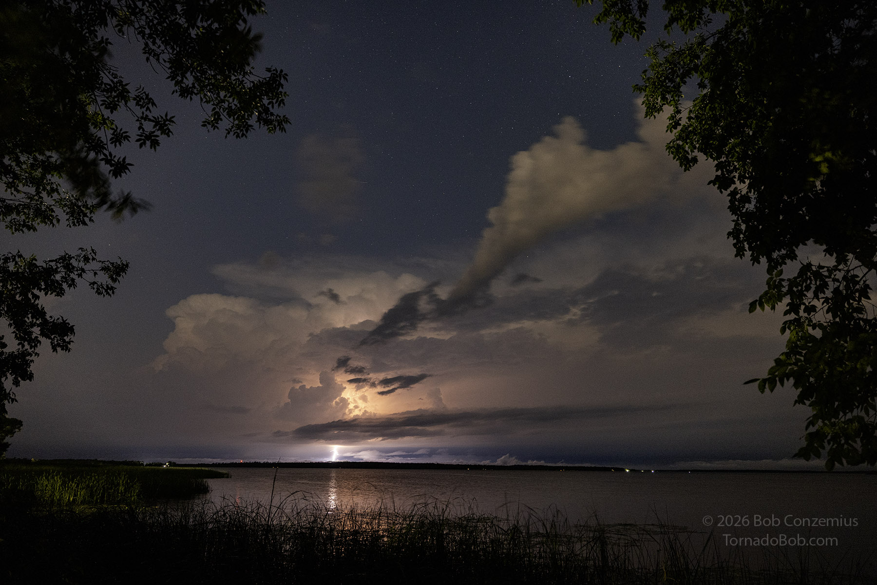
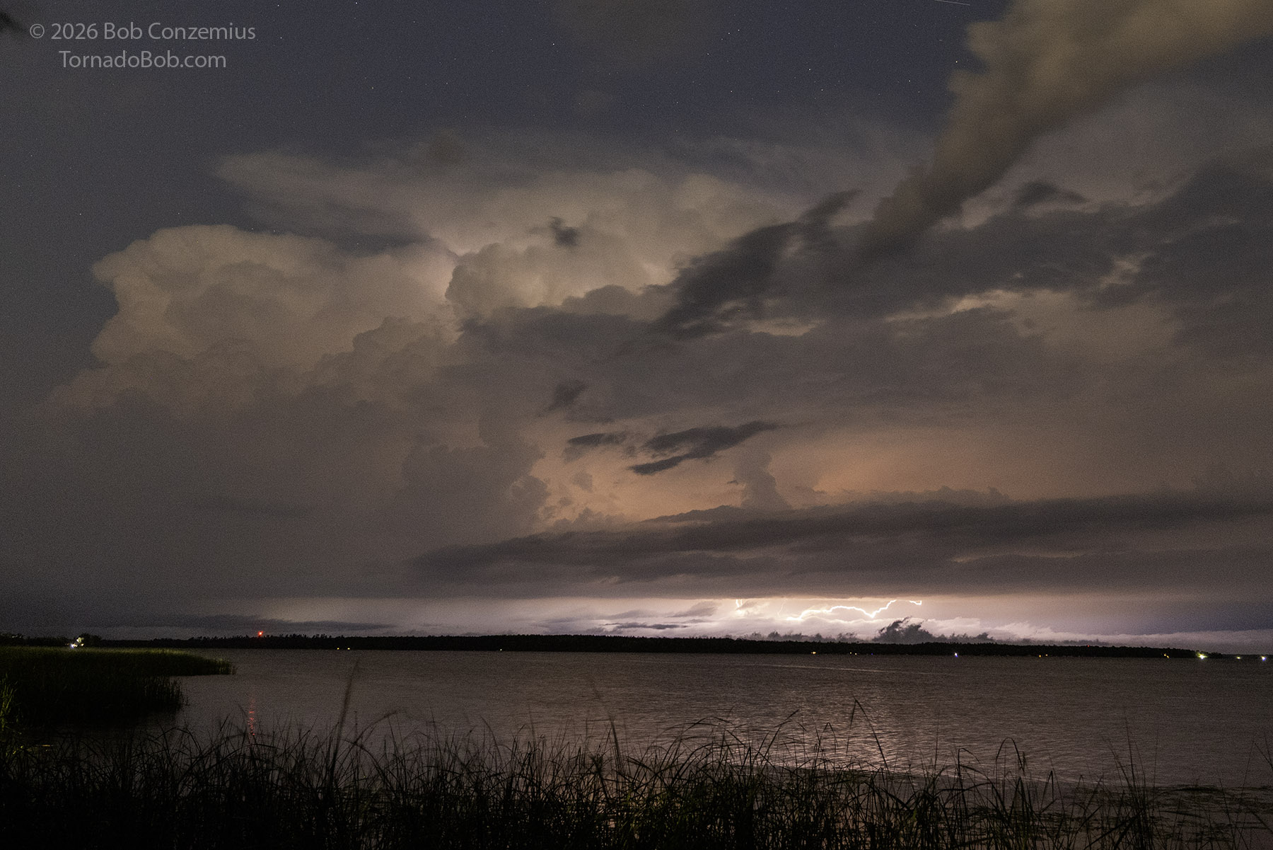
I stopped in Bemidji for a few minutes to charge then saw some storms to my north that I decided I could photograph from the rest area at Cass Lake. I took some shots there and started for home. On my way, at the Mississippi River crossing on Highway 2 west of Ball Club, I tried again, but there were more clouds in the way and no visible lightning channels. I continued home at was back by around 1:30 AM.
Wrap-up
It was a nice chase. Given my late start, it was nice to see a tornado-producing storm! The tornado was very weak, and I didn't really catch it on video or stills, but I am happy I was on that storm during one if its more interesting phases. Being able to chase later into the evening was also nice, but I'm paying for it today (as I write this)