The Setup
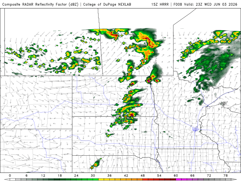
A trough of low pressure was forecast to move through the Red River Valley of the North on June 3, and I had planned for several days to chase this event. A few days later, the forecast trough passage verified, and it was time to chase. In the morning, the HRRR model showed storms developing from the Minnesota/Manitoba/North Dakota border, southwestward through south-central South Dakota, and moving eastward into Minnesota before dissipating. Given the relative proximity of the northern part of that target, I decided to chase in the northern part of the Red River Valley along the North Dakota/Minnesota border. The morning HRRR runs showed that some of the nicest storms and most likely helicity swaths (supercellular storms) might be near the Canadian border, so I hoped to get to Hallock.
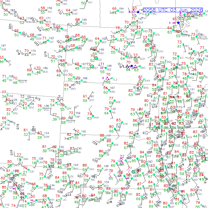
Surface observations around initiation time showed a somewhat different focus for storms. A surge of westerly winds was pushing toward eastern North Dakota and would influence initiation of storms. This initiation would happen a little sooner and closer to Grand Forks than earlier forecast.
The Chase
I overslept a bit, and my slow start in the morning did not allow me to leave until almost 1 PM CDT. By then, I would only have barely enough time to charge in Grand Forks and reach the target area in Hallock by the time the storms got there. I made a couple short stops on the way, and this delayed my arrival in Grand Forks until 3:57 PM. This probably saved me some mileage because, had I departed at an early time like 10 or 11 AM, I would have gotten a bit farther north before the changes in the target area became apparent. As it was, I saw initiation happening in front of me as I approached Grand Forks.
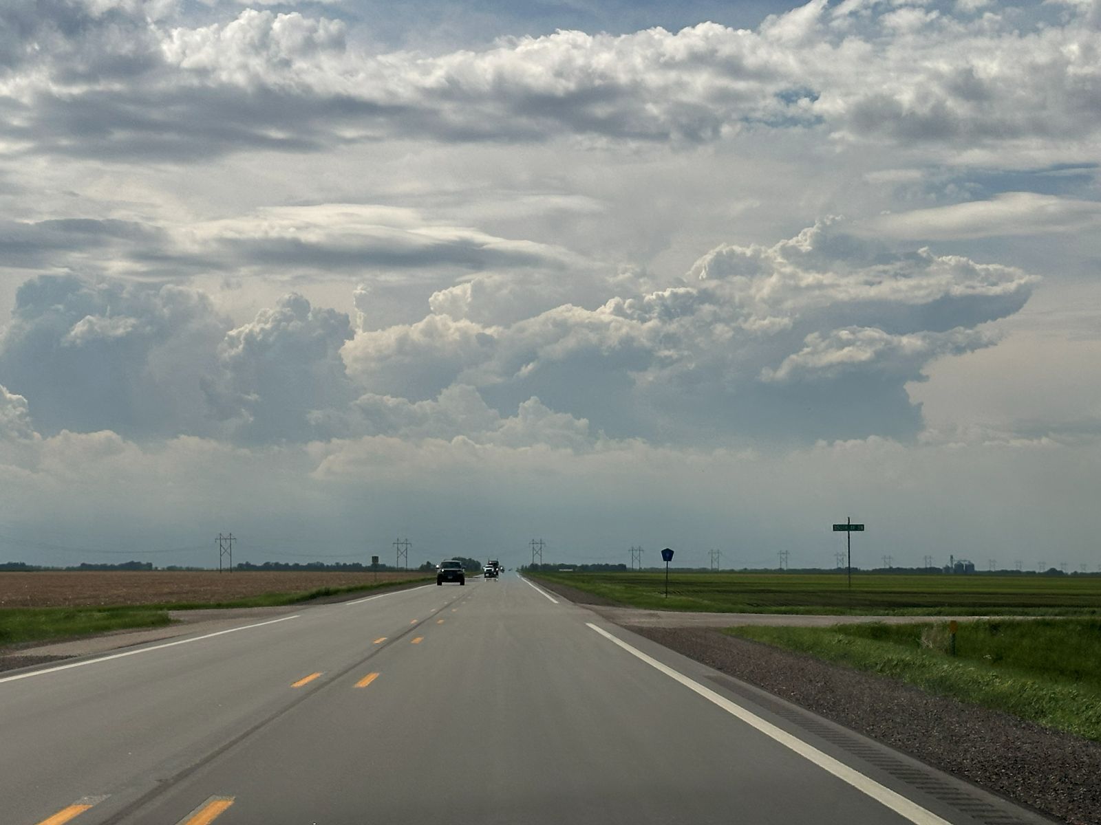
I stopped to charge and got some food at Target. The storm was close enough that I had a chance to walk across the shopping center and look at the new storm. It looked pretty good on radar for a scan or two, and I had hopes it could evolve into a supercell. The updraft base was on the southwestern flank of the storm and was separated from the rain. However, other storms popped up around it, and the storm mode appeared to be more multicellular.
When I was done charging, I decided to swing north to Highway 2 then eastward, back into Minnesota. Traffic was a bit heavy, and a malfunctioning railroad crossing had Highway 2 blocked just east of the I-29 exit. I detoured around and got back on Highway 2, but it seemed to take a long time to get out of town. I picked a county road off Highway 2 and stopped to look at the storms.
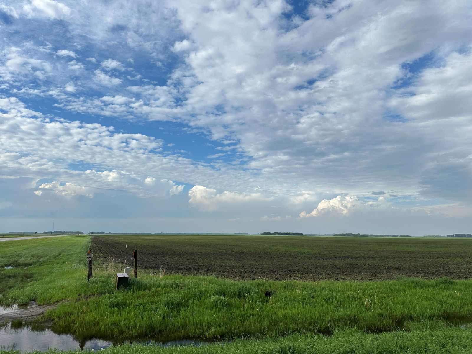
At this point, all the storms began to weaken. Other storms had developed south of Grand Forks, but those were now dissipating completely, and the storms in my vicinity were getting smaller. I decided that there would probably be still be enough un-consumed CAPE in my target area a bit farther north, and I could maybe see some new storms up there. This did not feel like the best strategy, but I did not know what else to do since the storms farther south had consumed a bit of the CAPE, and they had dissipated. I worked my way slowly northward and stopped about three miles north of Warren. There, I got out of the car and looked around a bit. Visually, nothing to the north of me was exploding, so severe storms in that direction seemed increasingly unlikely. A look on radar revealed that storms were redeveloping just west of Grand Forks, exactly where they had developed a couple hours ago.
I drove back to the same area just east of Grand Forks so I could get a better look. I initially lamented my chosen path back to Grand Forks because the storm developed a bit eastward, and I needed to go through some heavy precipitation. Because of the risk of hail, I do not normally like to put myself in this position. However, hail markers were not showing any big hail, and I didn't see anything larger then 1/4" today anyway. Had I simply returned the same way I came, I would have stayed out of the core, but I didn't want to go back on gravel roads, either, so it worked out fine.
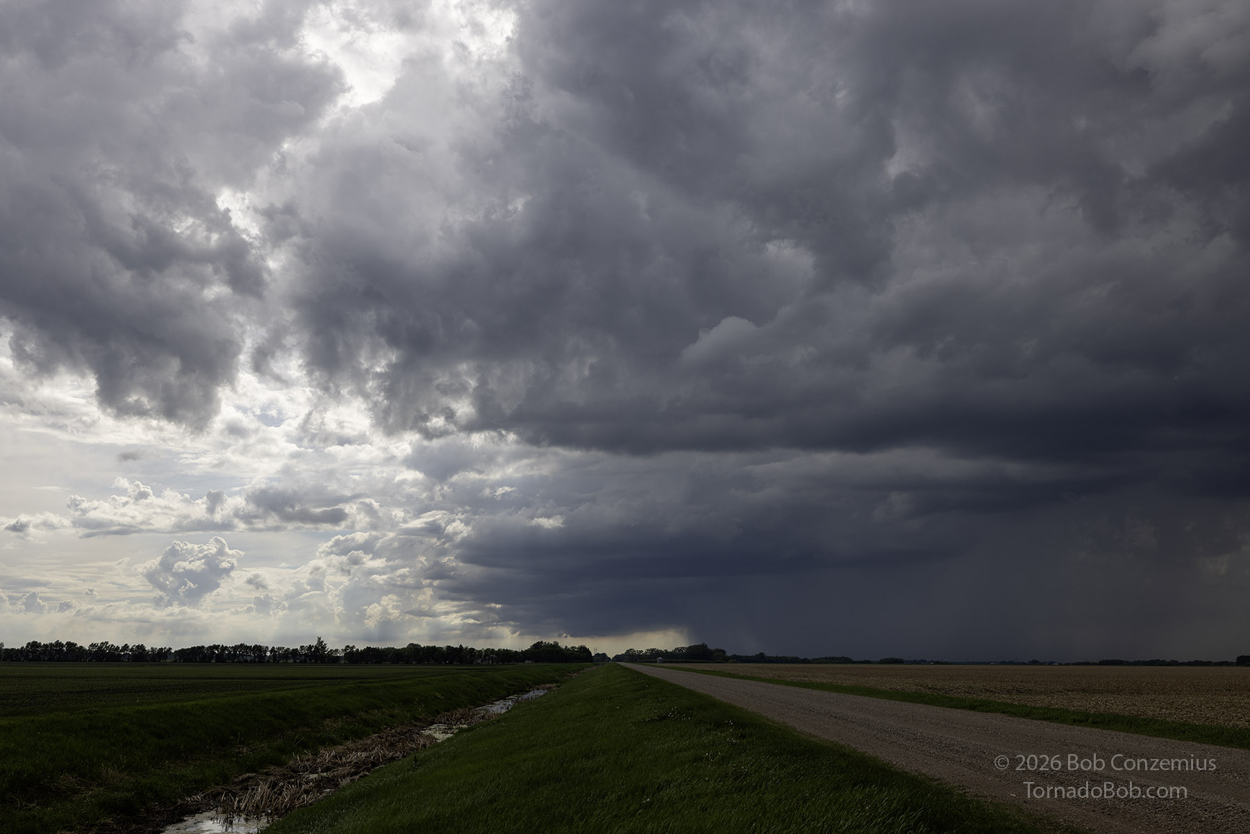
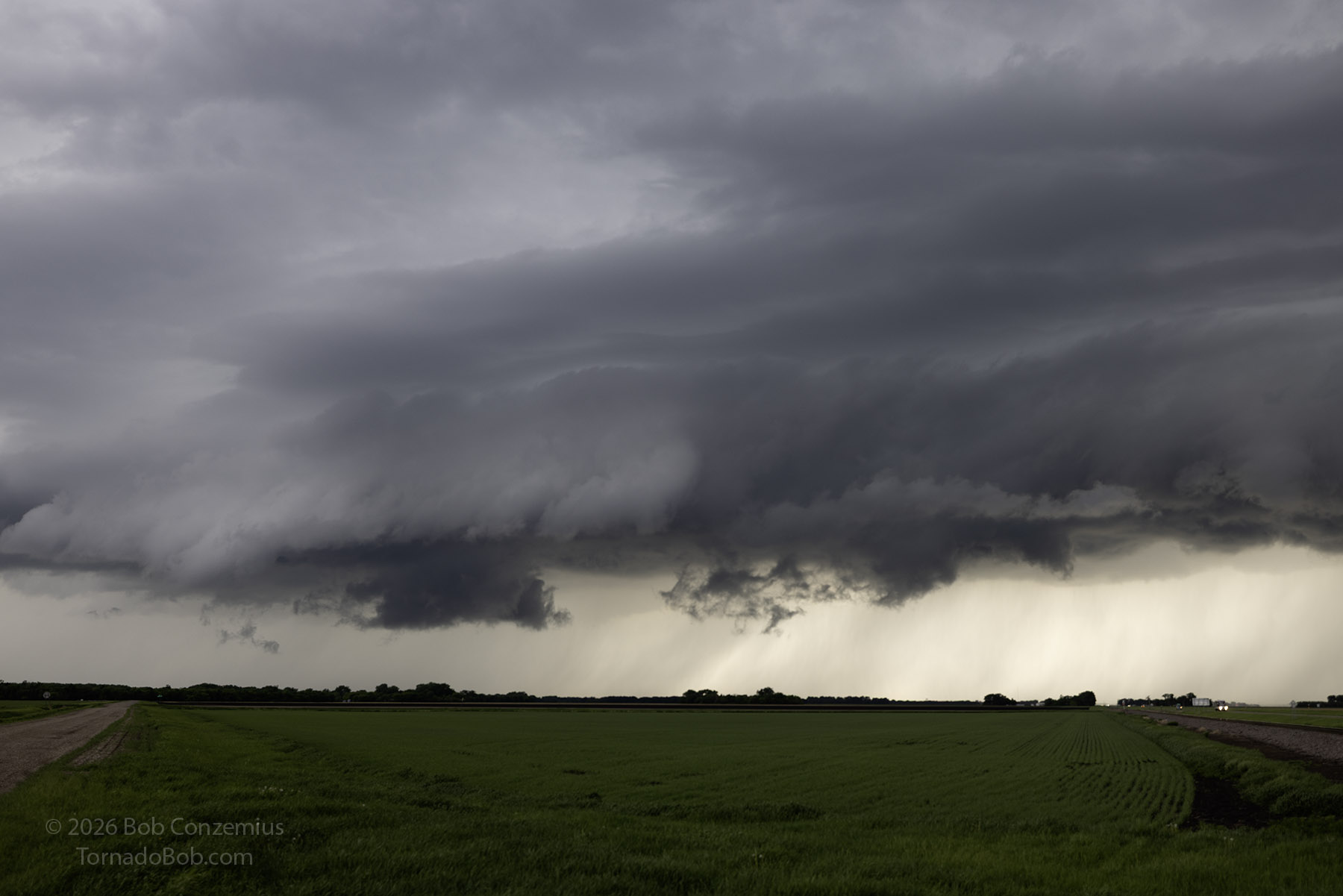
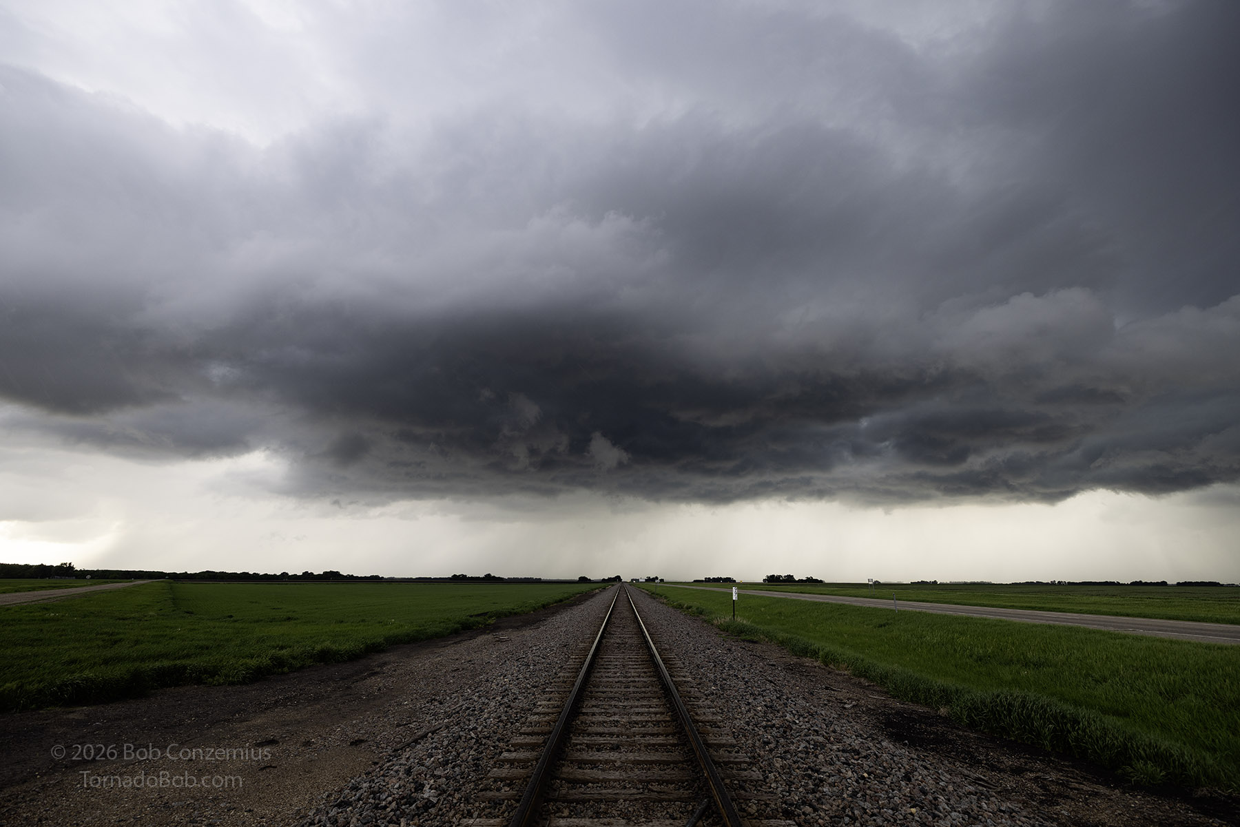
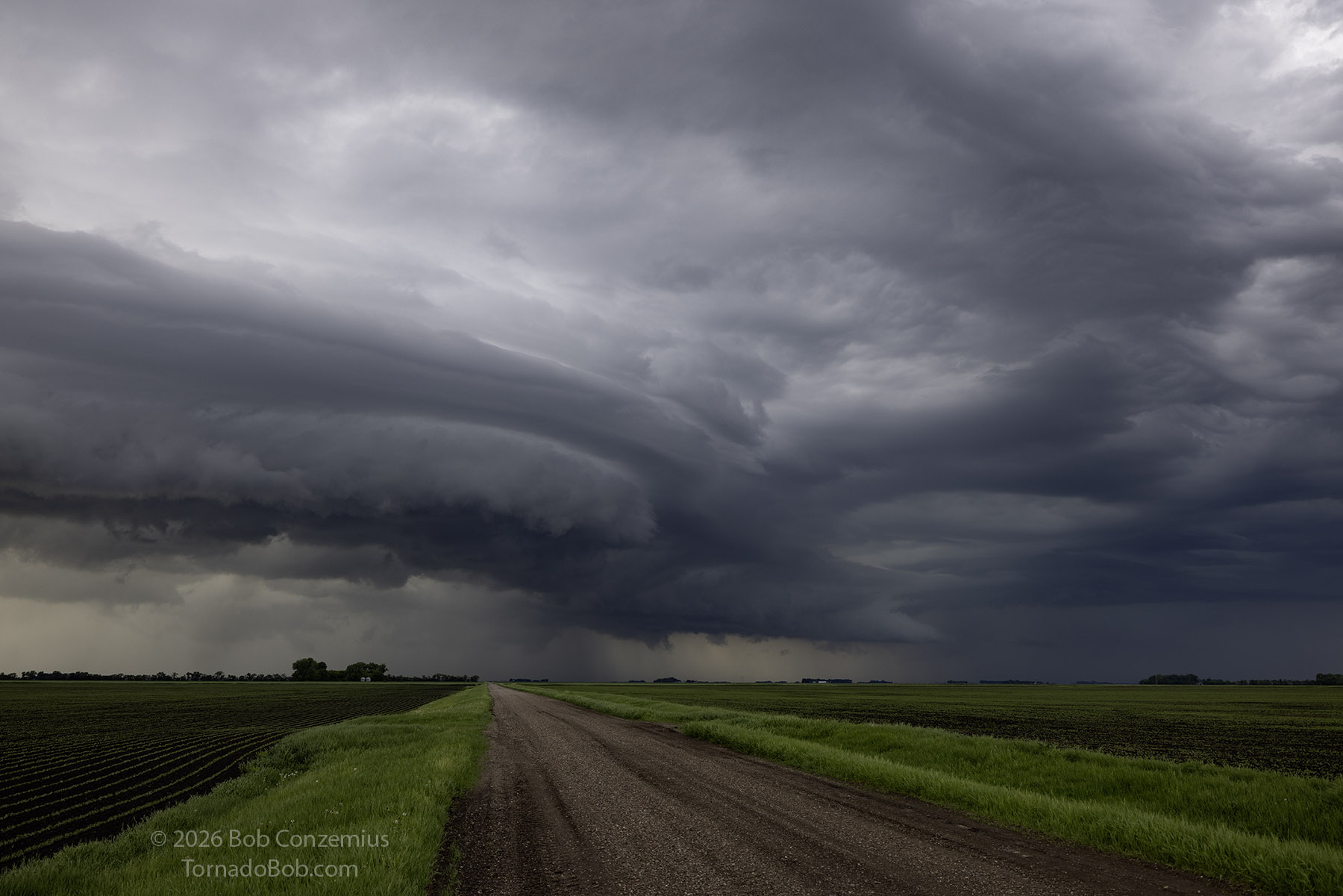
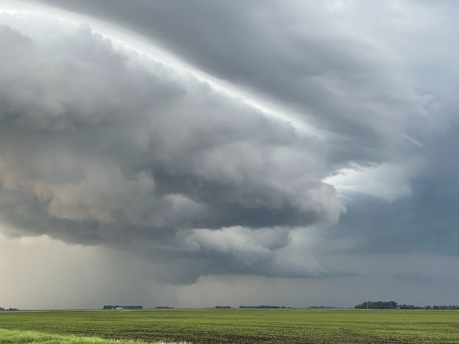
I was not expecting to see much once I got to the south side of the storms. The radar images didn't look very interesting, but I did see that the southwestern flank of the storm was riding along a boundary with some shear along it. I needed to get in position to see that in case there were any vortex roll-up events about to happen. It turns out that those areas were undercut with colder air, and the stretching process never really had an opportunity to happen. I did see some nice differential motion at various levels of the storm, though. There was deep layer shear, but the low-level shear was pretty weak. The structure was better than I thought it might be.

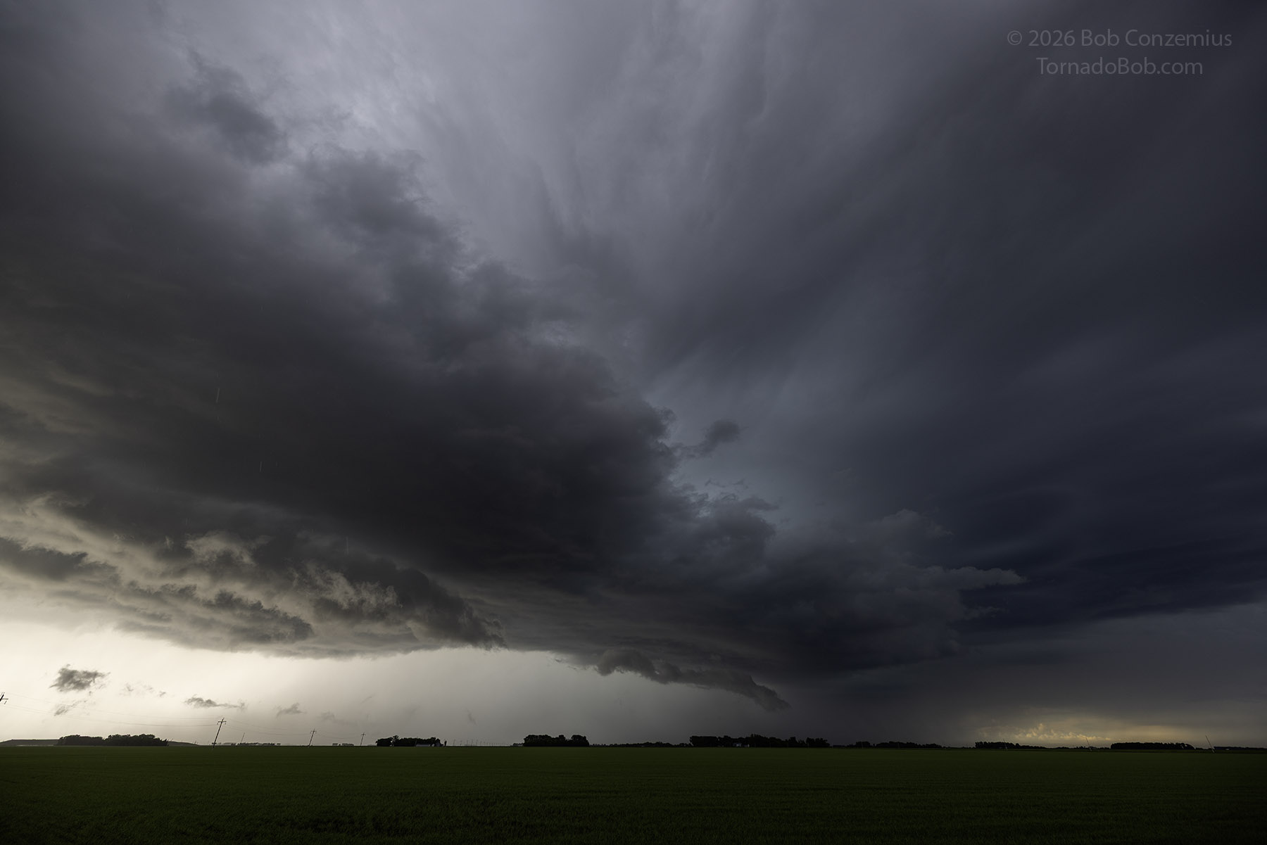
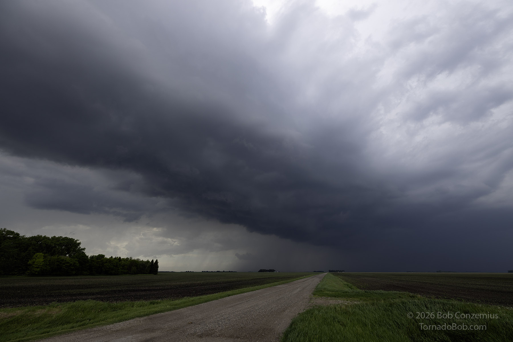
The storm became severe-warned as I parallelled it along U.S. Highway to east-southeast of Grand Forks. I stopped at a location between East Grand Forks and Fisher for one set of photos and then just east of Fisher for a second set of photos.
At Fisher, I decided not to chase it any more. With time, it would work into drier air in north-central and northeastern Minnesota. Indeed, the storm shrank and became weaker. Other cells struggled to a bit to its southwest, and those, too, dissipated. I started back home just after 8:00 PM, stopped in Bemidji to assess the potential for northern lights, decided there wasn't much of a chance, and headed home to Grand Rapids.
Wrap-up
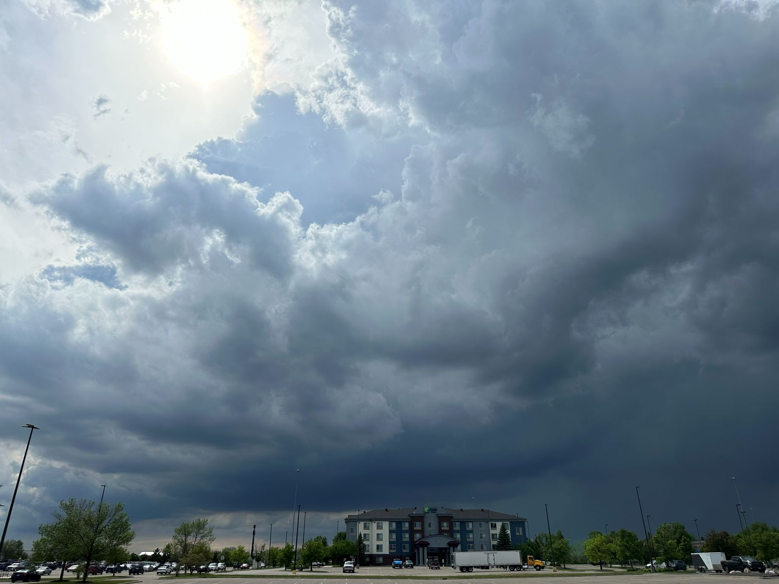
Storm-wise, the day was a little below expectation as there were no genuinely supercellular storms. I did see some rotation, but the storms looked more multicellular and outflow-dominant. As far as photography went, it was a good day, and I got some nice shelf cloud (arcus) pictures. The Red River Valley is a great place to chase with flat, open terrain and a good road network. Too bad it's a three hour drive for me to get there.