The Setup
Consistent with the theme of 2026 so far, today's setup featured a longwave 500 mb trough moving through the western/central U.S., which is normally good for storms. Upstream ridging, however, was pushing a surface cold front south through the Plains, undercutting areas with best shear and lift. Today, we would need to move south through Texas to stay just ahead of the cold front and get some storms with access to high quality moisture. Our plan was to get near Abilene before the front did and chase storms that were predicted, in the CAMs, to develop in that area.
The Chase
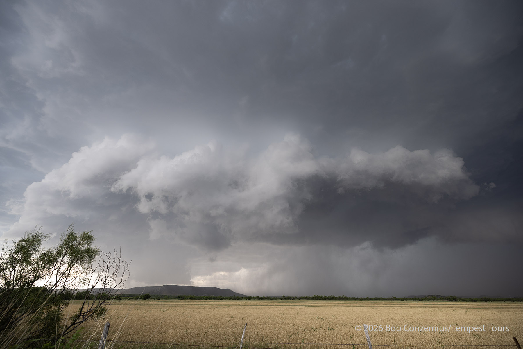
We drove southward into Texas from Clinton Oklahoma via a more scenic route through the Quartz Mountains and west of the Wichita Mountains in southwestern Oklahoma. The route took us through Vernon, TX and then to Sweetwater and westward to Colorado City, where storms were strengthening as we arrived in that area. We hurried to get around Colorado City as the storm was bearing down upon it, and got in front of the storm just to the southwest of Colorado City. Development was a bit early, and it looked a bit multicellular at first, but convection organized a bit more, and we had, more or less, a supercell within about an hour.
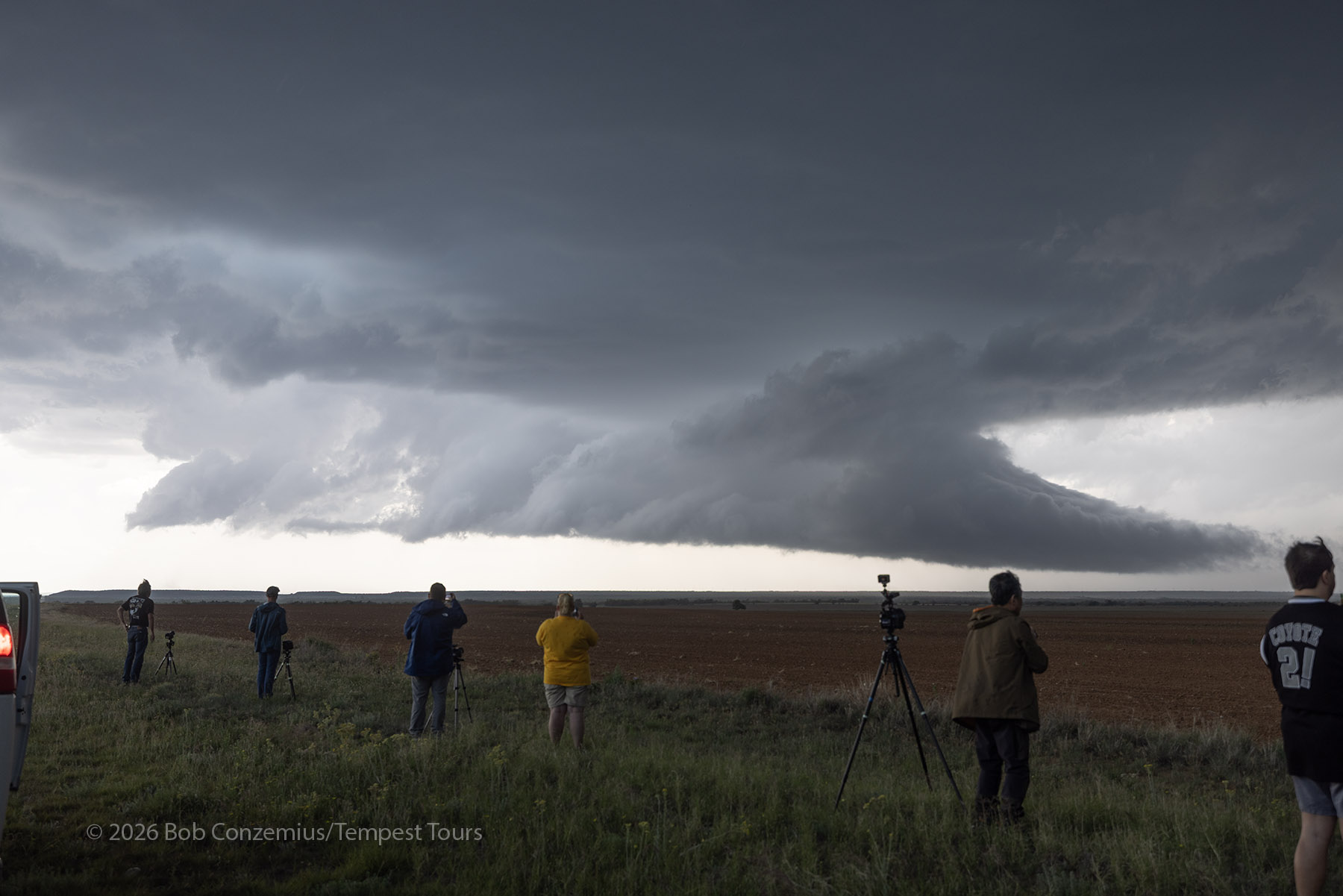
We continued south and slightly westward to get into a good position for a storm. Safely ahead of the core, we stopped for some photography, and a wall cloud developed to our west. We watched it evolve and then decided it was worthwhile to go in for a closer look since it was pretty far away.
The storm moved southward as we drove west, and with the road network the way it was, this forced us out the western side to avoid the core. The next road south to get around the storm took us all the way south to Sterling City. This brought us well away from the action area of the storm and back into sunshine.
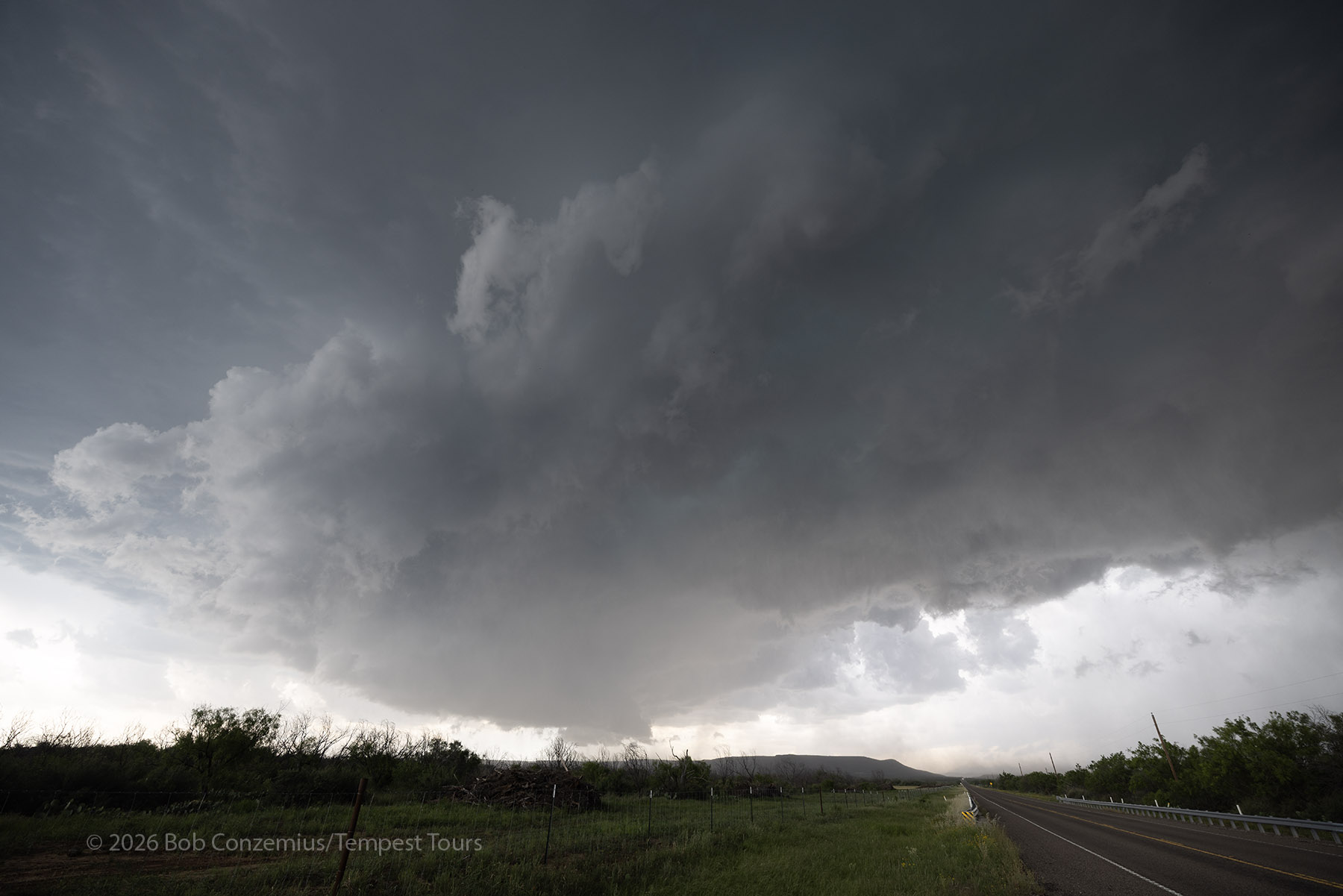
There was a road going northeast out of Sterling City that would get us back to the business side of the storm, but it would take a while. I was worried we would miss something during that time, but the storm was in a good phase of intensification when we arrived.
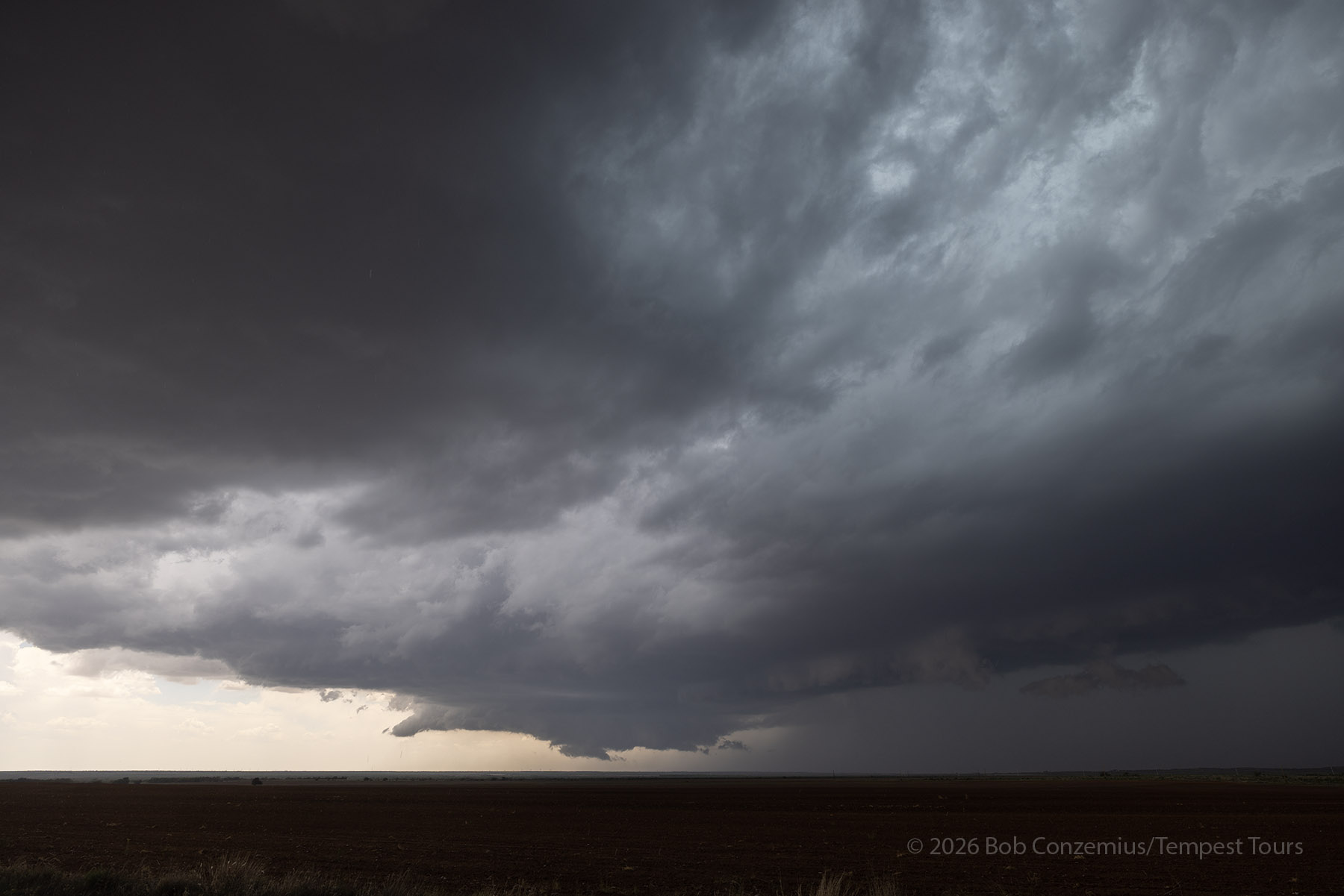
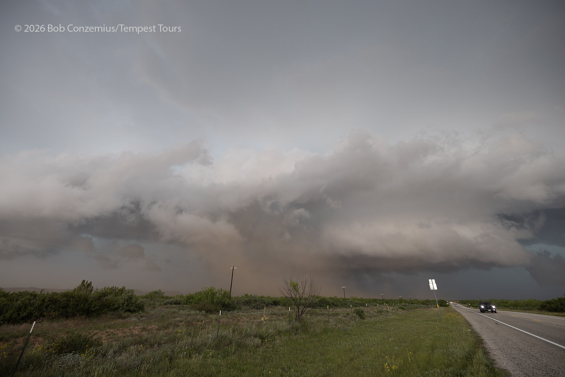
On radar, there was a long, north-south-oriented shear zone on a rather elongated supercell storm. We arrived expecting to see an elongated shelf cloud and an outflow-dominant storm, but when we got ahead of it, the southern end of this shear zone curled up and developed into a more organized mesocyclone. I thought this region looked ripe for tornado development (maybe). I mentioned the prospects for a tornado, and soon enough, NWS San Angelo issued a tornado warning for the storm. We had been watching this mesocyclone develop, and now it was pretty close. We needed to get moving. As we left, there was a plume of swirling dust where we had been parked.

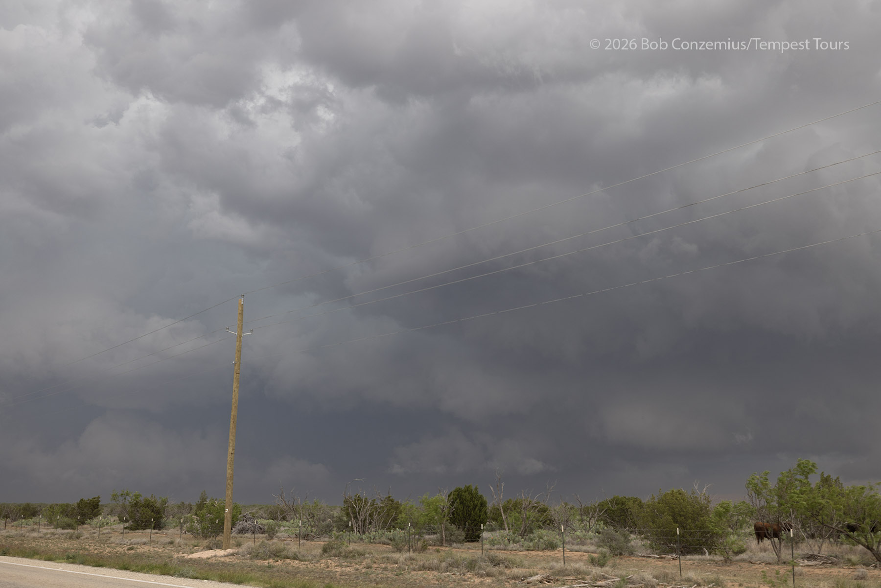
We drove eastward to get back ahead, and I told the guests to keep their eyes behind us on the left of side of the van. They spotted some more swirling dust, but in the driver's position, I could not look back and confirm it. When we did stop, there was a still a bit of dust there as well as some rotation in the clouds above, but it did not look like a tornado to me.
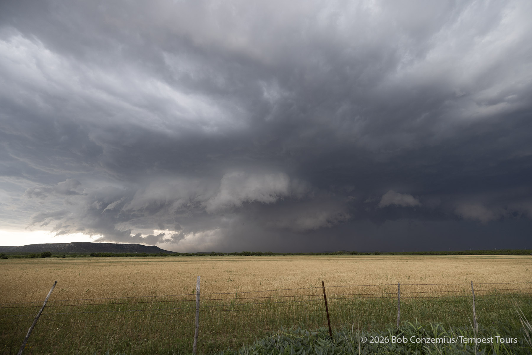
After that point, the storm changed its appearance and looked much more like an outflow-dominant storm with a high-based shelf cloud. We continued south into San Angelo, fueled up, but then figured this was a good place to end the chase. We found a hotel, checked in, and grabbed some dinner as storms moved around town.
Wrap-up
A fun day with a supercell that somewhat exceeded my expectations. I was thinking the day would feature primarily outflow-dominant storms, but for a few minutes, the storm became quite interesting with a tornado warning and organized rotation at cloud base.